
From survey vehicle to processed point cloud
Capia developed a workflow for processing LiDAR data from a survey vehicle, including structuring and compressed storage of large datasets.
Expertise
Explore places, objects and infrastructure in three dimensions.
Point cloud analysis makes large 3D datasets useful for inspection and measurement. Capia connects geospatial data and analysis to the specific problem.
Discuss your needs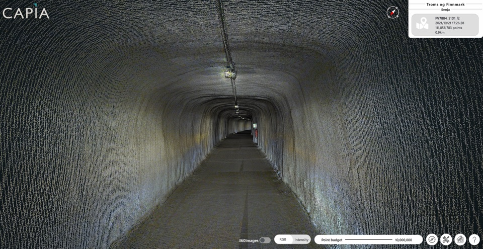
From data to practical use
LiDAR scanning records the surroundings as millions of points positioned in three dimensions. Capia processes these point clouds and makes large datasets available for inspection and measurement.
A point cloud becomes useful when users can navigate it, inspect objects and take relevant measurements. Structured storage and browser-based visualisation connect the technical data to a practical task.
Capia developed a workflow for processing LiDAR data from a survey vehicle, including structuring and compressed storage of large datasets.
A browser-based tool lets users explore the recorded surroundings and examine geometry and distances using built-in measurement tools.
We establish what you need to inspect or measure, assess the resolution of the data and adapt processing and visualisation to the task.
Talk to us about your needsExplore the geometry in large 3D datasets.
Use the data for relevant measurements and inspection.
Connect results to the location, object and practical application.
The next step starts with a question
We’d be happy to discuss your data, needs and opportunities.